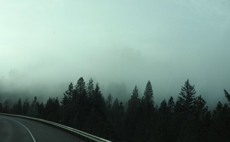
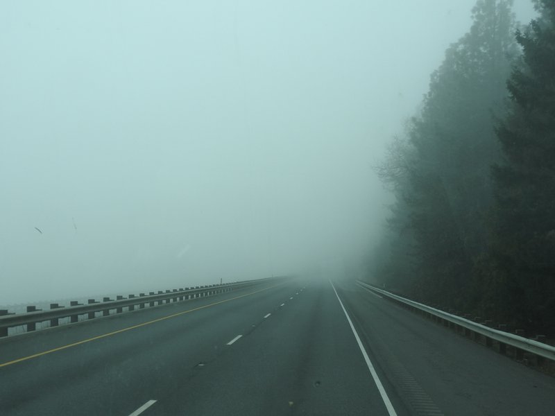
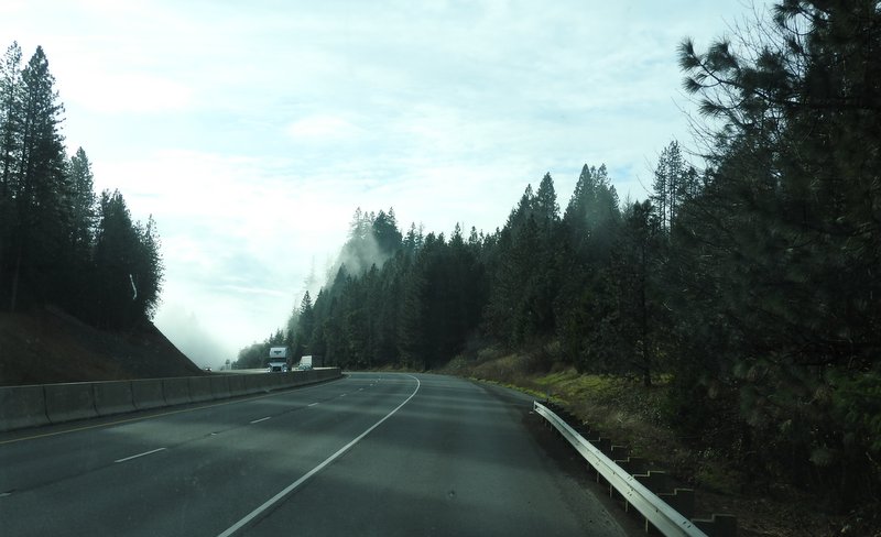
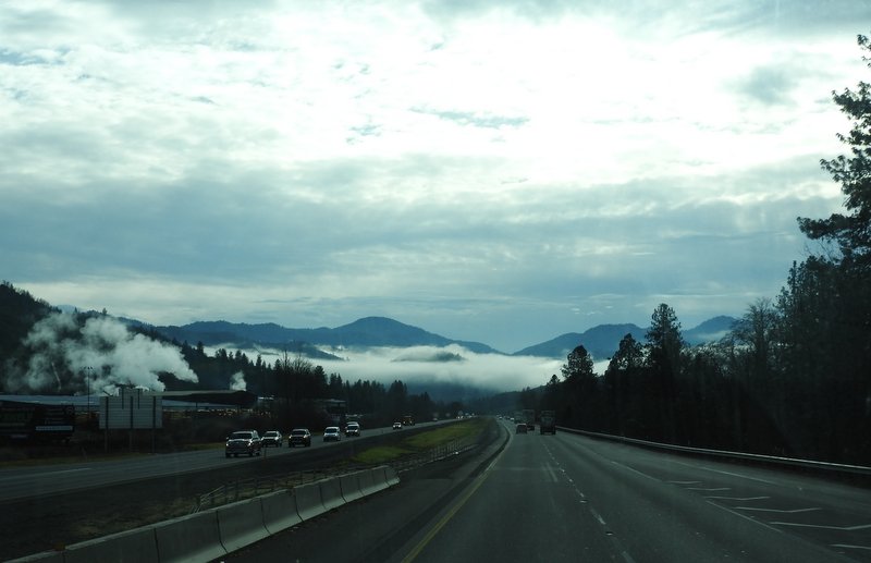
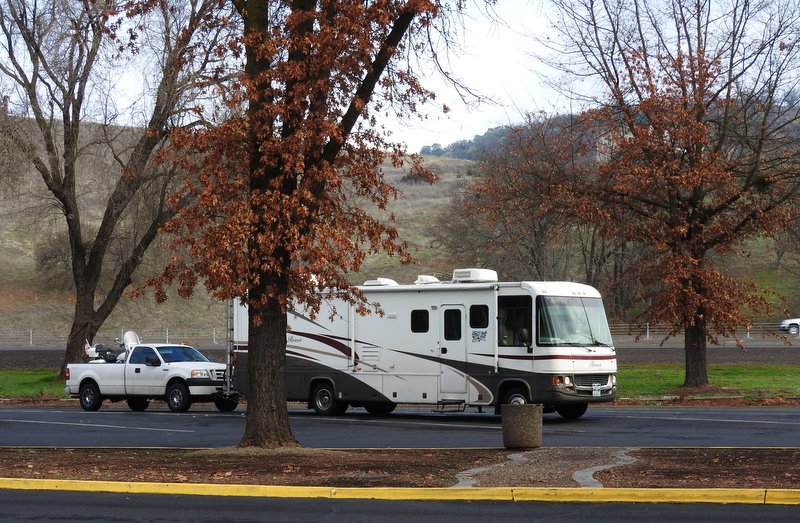
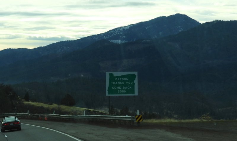
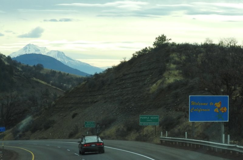
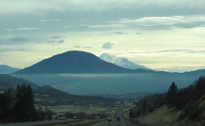
It was foggy when we got up in Roseburg this morning. We headed out at 9:15 am and the temperature was 39° F. We were in and out of fog all morning as we went through the Calapooya Mountains in southern Oregon and the northern edge of California. Here are some pictures from today.
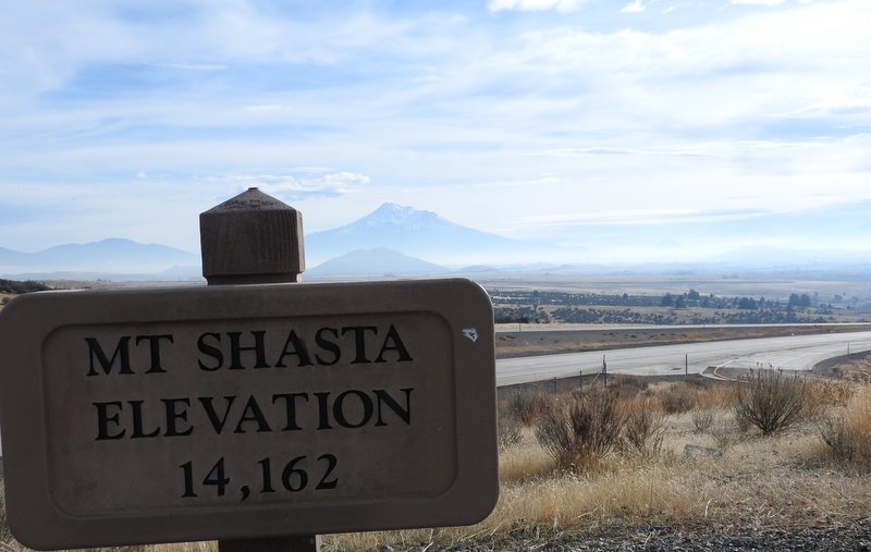
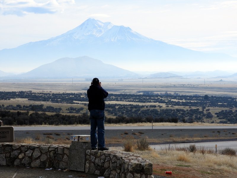
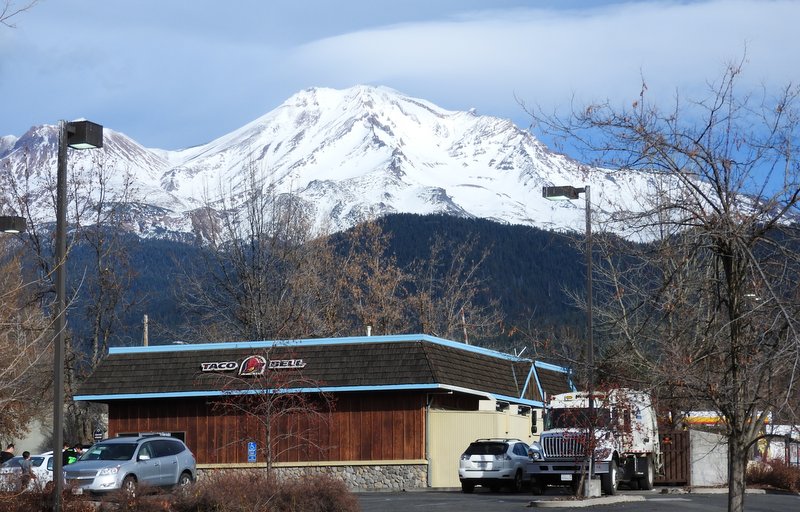
At 14,162 feet above sea level, Mt Shasta is higher than Oregon’s highest mountain — Mt Hood (11,250 feet).

This almost looks like a campaign office for 2020. If you see Lewis Brisbois running for president, remember you saw it here first!
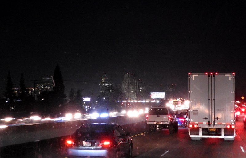
We ran too long today. It was dark and raining and we were in bumper-to-bumper traffic around Sacramento. Galt was the closest place to Sacramento that we could find a Walmart where we could park overnight. We arrived around 6:30 pm and the temperature was 50°. We’re already getting into some warmer weather!

